Short Walks in Bedfordshire
Descriptions - Videos - Proper parking instructions
Ivinghoe Beacon
Description and Walk
Ivinghoe Beacon is part of the Ashridge Estate where we have details for another place to visit, here.
At 233m above sea level Ivinghoe Beacon was once part of an old signalling network, used to send messages over long distances. It is part of the Chiltern Hills and is the start of the Icknield Way to the east and Britain’s oldest road, The Ridgeway, to the west. This is also the site of an iron-age hill fort.
Signs at Ivinghoe Beacon site suggest three potential walks of varying lengths. These range from around 45 minutes to the Beacon and back to a much longer 17-mile circular affair, which we have managed to avoid so far.
The tops of the hills make for good views over the surrounding countryside, as well as a perfect vantage point for RC glider enthusiasts to use slope soaring: gaining lift from winds that meet the sides of the hills causing an updraft. See our video for two chaps doing just that.
Obviously, Ivinghoe Beacon is popular with walkers, dog-walkers, picnickers and model flying enthusiasts – not the powered type, though, only gliders.
Short Video of Ivinghoe Beacon
Note: The video is best viewed by clicking on the 'full screen' symbol that appears at the bottom-right of the video box once the video is playing. To exit full-screen hit your escape key or click on the symbol at the bottom-right again.
Parking
Parking address: Ivinghoe Beacon, National Trust Car Park, Dunstable, LU6 2EG. No road name for this, it's just a turning off the B489.
The car park at the top of the hill generally has sufficient parking spaces for visitor numbers.
Google Map


Unnamed road (left) off the B489 leading to Ivinghoe Beacon.
Ivinghoe Beacon car park.
Place/s to Eat
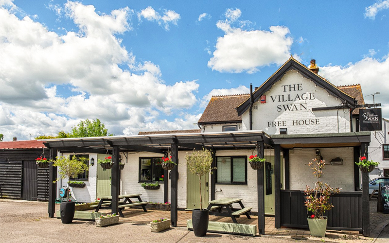
The Village Swan pub at Ivinghoe Aston is a pub run by a local collective.
Address: The Village Swan, Ivinghoe Aston, Bucks, LU7 9DP
Tel: 01525 220 544
https://www.thevillageswan.net/
opens in new browser tab
PDF with details
The pdf, below, contains address and parking location details similar to the ones on this page. Print out the pdf file if you want something to carry with you. Pdf opens in a new tab.